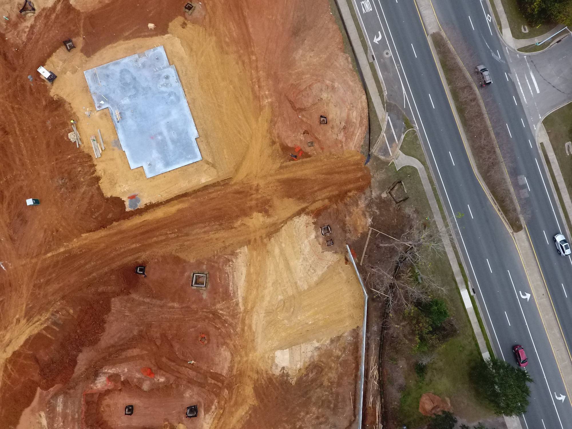
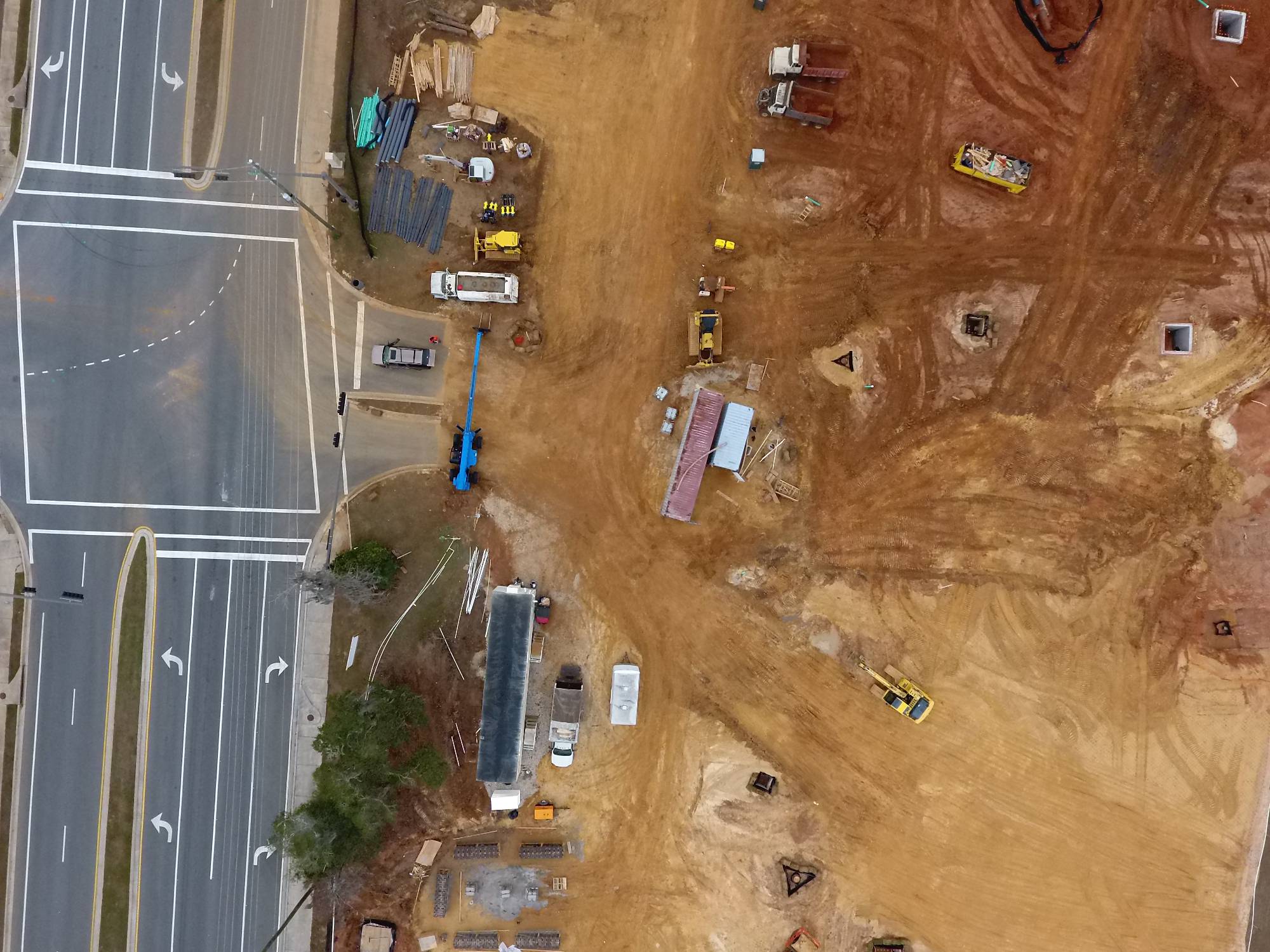
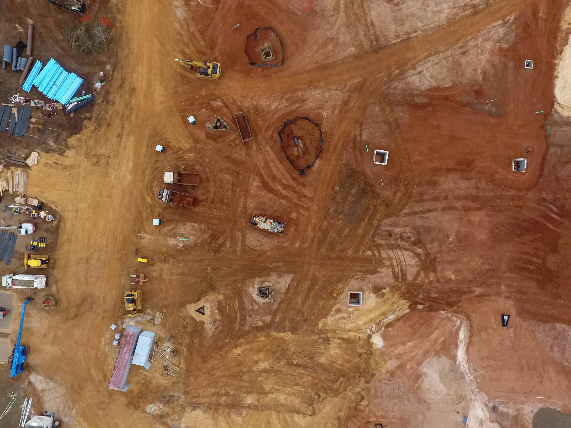
SEDT offers project solutions so that our customers have the best data available. It's not just about a pretty picture but more about the story the picture tells. From our detailed imagery we are able to produce multiple layers of useful data. From this data licensed Contractors, Surveyors, & Engineers are able to supplement field data and produce contour maps and perform volumetric calculations. We also offer progress tracking of development projects via time lapse photos. Call today to schedule a consultation and see first hand how we can help your organization become more efficient.
Questions? >
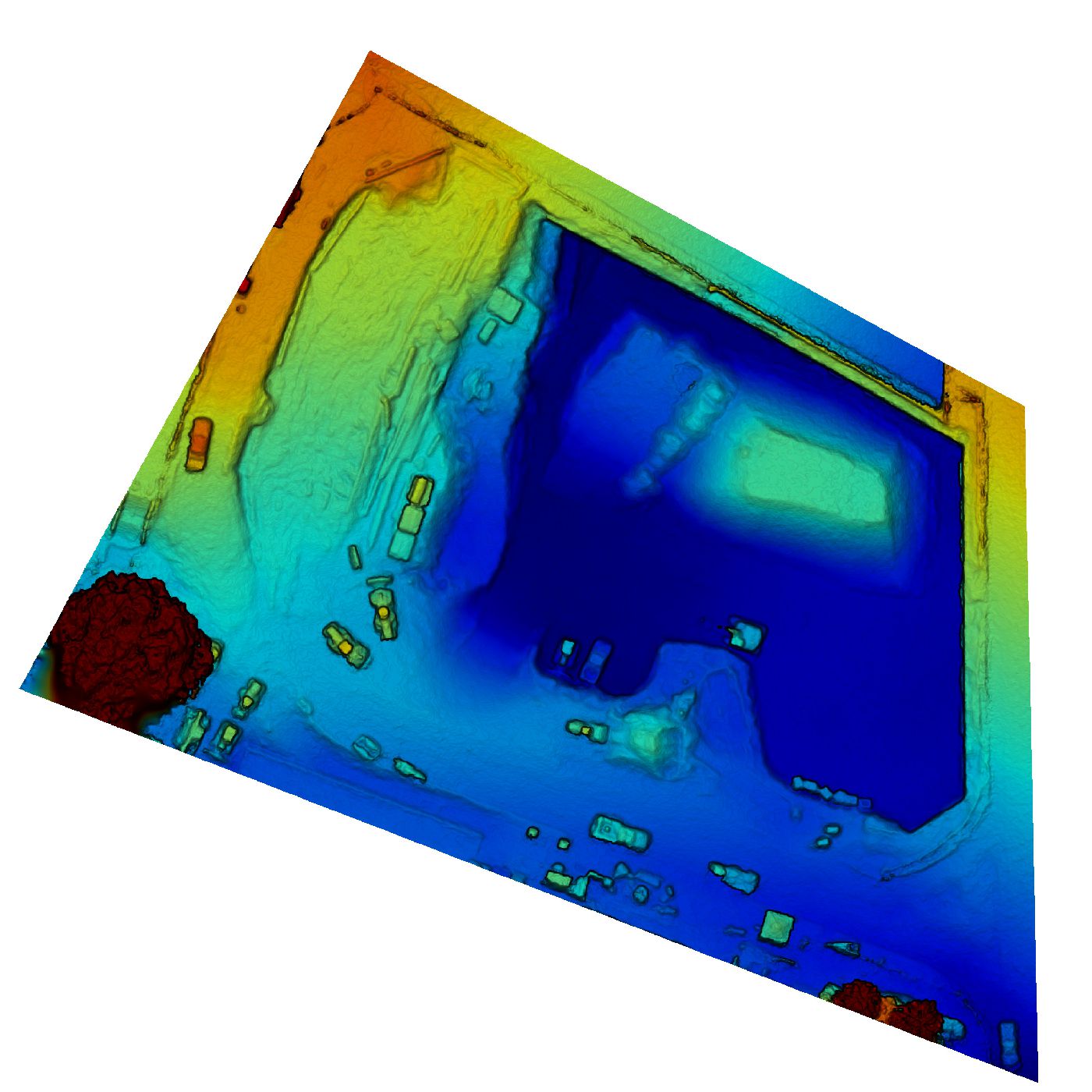
Elevation Example >


SHARE THIS PAGE!